METAR/TAF
We know: before take-off, nothing can replace the observation of the actual weather. So TopMeteo also provides access to a large variety of satellite images and to all the METARs alongside your route. To do so, you can have a look at the satellite image “SAT/RADAR” with the visible satellite image or the rain radar and other related products.
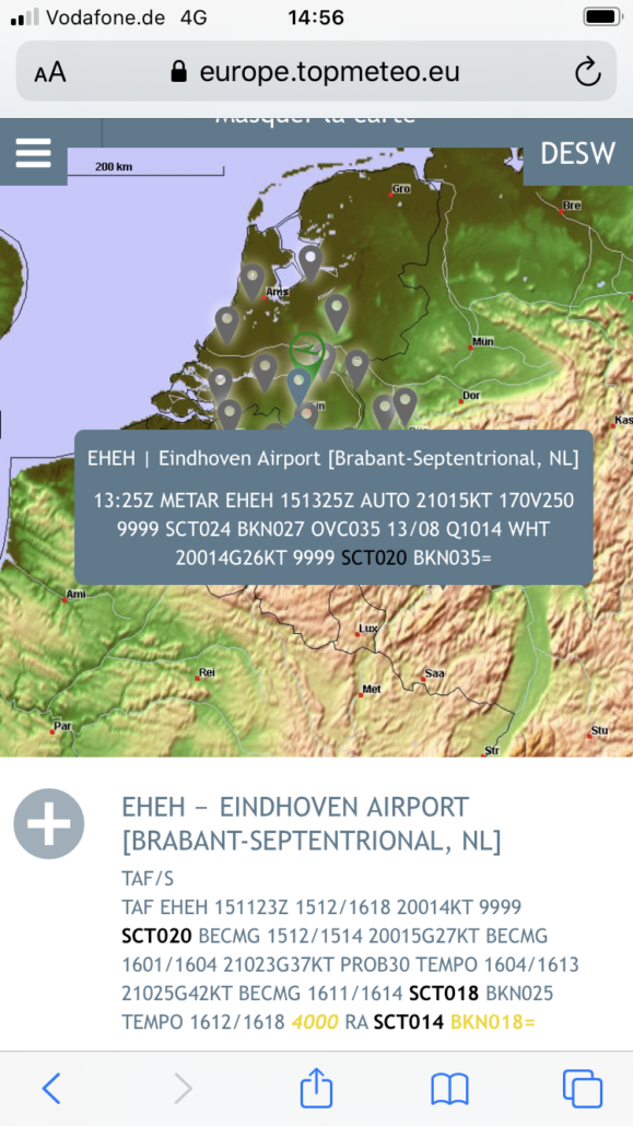
Finally, to have a more precise information about specific location, you can still use the classical “METAR/TAF” information. You will find the map of your area. On the map, your first clic will be your starting point. It appears in green. Then click on your arrival airfield. It appears in red and all the available TAF and METAR will appear in grey.
By passing your cursor on a grey tag you can have a quick view at its name and the associated METAR. Then you can click on it in order to have the full view of the TAF and the METAR. As usual, the relevant data are colored to be sure not to miss an important information.