
TopMetSat – reconsidered gliding flight
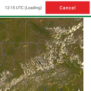
On 19.08.2018 I took off for a tourist glider flight . This led me from Jena finally to Regensburg. While I was still digging in the warm air in the Vogtland TopMetSat showed me that it was much better developed south of the border to Bavaria. At the Fichtelgebirge I discovered a great Cumulus line in the satellite image at the northern edge of the Danube valley – nothing but there.